Sector propagation
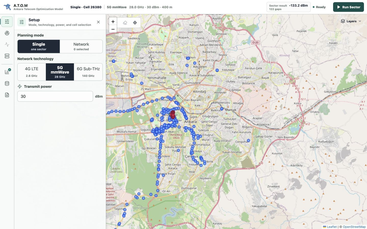
Estimates 2.6/28 GHz propagation with the deterministic urban UMa LOS/NLOS subset and explicit legacy fallback. The 140 GHz profile is research/reference only.
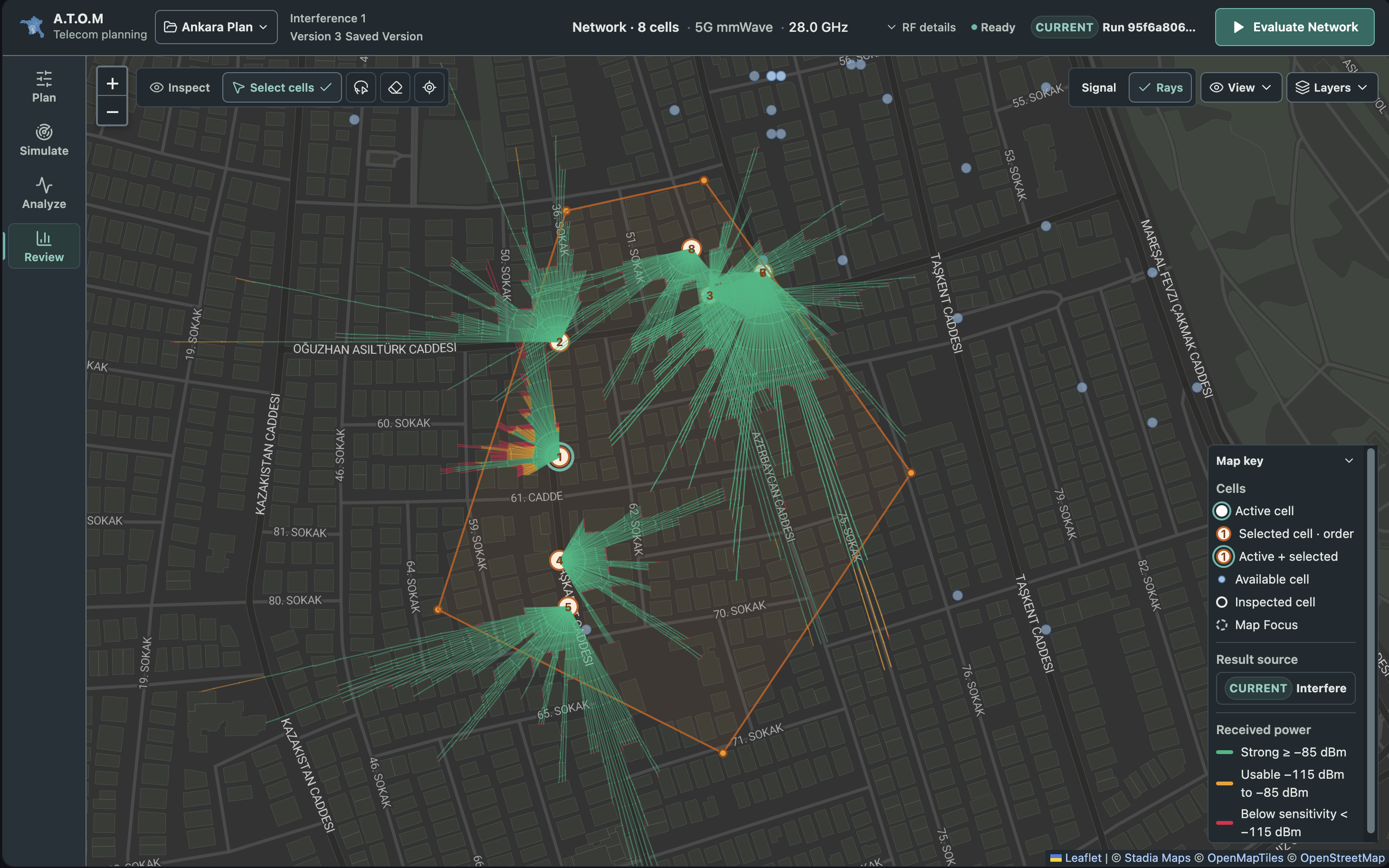
Rays, Rx power, range, gaps A.T.O.M Docs
Ankara Telecom Optimization Model
A.T.O.M Docs
Ankara Telecom Optimization Model
A.T.O.M is a local-first deterministic urban RF planning and experimentation workspace. Configure a small Cell plan, evaluate a baseline, compare a bounded azimuth recommendation, inspect its assumptions, and export the evidence. Measured real-world propagation accuracy is not yet established.
Start with one comparison: configure, evaluate, compare, explain and preserve the evidence. Use the architecture guide afterward to inspect how the system produces it.
Clone with Git LFS, start Docker Compose, configure two to eight Cells, evaluate and compare a bounded recommendation, then export evidence.
Open download guide → System designSee component boundaries, request lifecycles, R-tree queries, worker limits, interference calculations, and 5G communication paths.
Open architecture guide →Each analysis is exposed as a distinct workflow so radio configuration, spatial evidence, and output interpretation remain connected without filling the map with permanent controls.
Estimates 2.6/28 GHz propagation with the deterministic urban UMa LOS/NLOS subset and explicit legacy fallback. The 140 GHz profile is research/reference only.
Rays, Rx power, range, gapsRecommends evaluated azimuths using POI/residential demand and reach objectives. Normal networks accept two to eight Cells; bounded search does not prove a global optimum.
Before/after score and azimuthsEvaluates serving-cell selection and co-channel interference on an adaptive grid for modeled RSRP, SINR, RSRQ, and RSSI.
Quality surface and demand impactMaps selected 5G cells to gNBs and distinguishes direct Xn coordination, AMF/N2 fallback, and UPF/N3 session traffic.
Routes, functions, sessions, eventsPreserves the plan, assumptions, source Run and comparisons in separately downloaded reports. Portable projects contain bounded retained Scenario evidence, not every workspace artifact.
Print/PDF and MarkdownThe application keeps the map stable while one focused tool is open. Configuration changes invalidate stale analysis, and only the latest matching request is allowed to update the workspace.
A.T.O.M supports comparisons under explicit assumptions. Normal network8, Recommendation5 and Measurement6 are independent limits. Optional terrain/path-profile evidence does not modify canonical fast-network propagation; building entry estimates one representative facade, not complete indoor coverage.
Validated dataset packs are loaded into memory. Projects preserve exact requests, model versions, and dataset identity for repeatable comparisons.
Measured real-world propagation accuracy is not yet established. Fast fading, canonical multipath, MIMO scheduling, measured/vendor antenna diagrams and uplink behavior remain outside the model. Standards-based subsets and operational qualification do not establish field accuracy.
Use the focused guides above for orientation, then move into the detailed API, algorithms, deployment, and release history.